
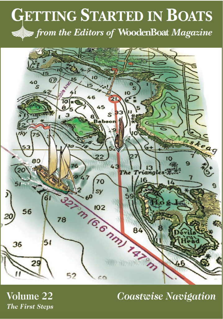
Boat Navigation for Beginners
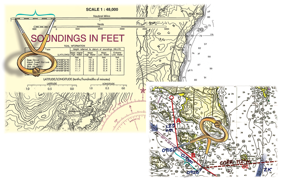
Right—Use dividers to measure distances on your marked course. Often you’ll “walk” the dividers (swinging the legs 180 degrees and planting them along the course line) for longer measurements. Left—You can check the distance on the scale, which is located in the upper left corner of the chart. Be sure to use the nautical mile scale (the top one shown).
Finding your way in a boat—navigating—applies simple principles with sensible care. Navigation near the coast is chiefly connecting what you see on the chart with what you see from the cockpit. Some help from the compass and a little low-level math will see you safely to your port. If you can read a bus schedule and figure out your car’s gas mileage, you can become a competent navigator.