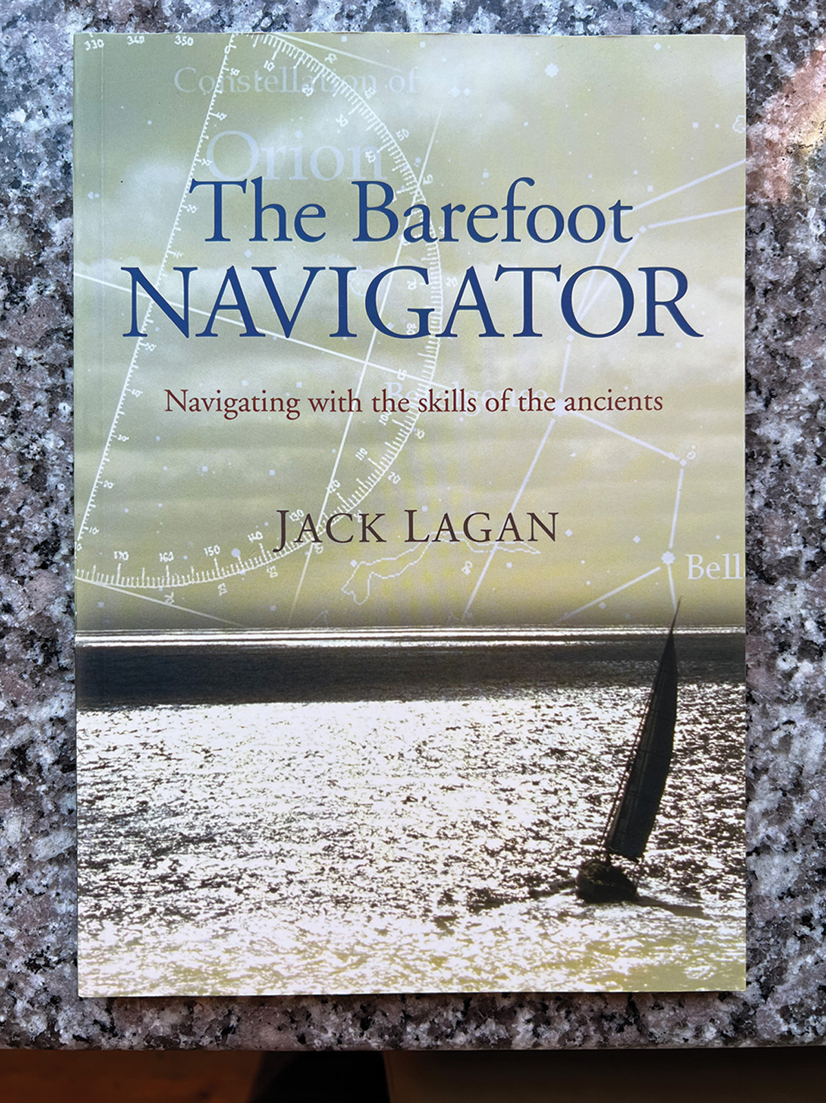
The Barefoot Navigator, by Jack Lagan. Sheridan House, New York. 160 pp., softcover $19.95.
Available from The WoodenBoat Store
At first glance, the Pacific appears as an unbroken expanse of water—a clear swath of blue across your wall map of the world. A more careful look reveals that this ocean is instead the firmament for a far-flung galaxy of islands, remote dots of dry ground that were all nonetheless fully settled when Europeans first found them five centuries ago. They include Tahiti, Rangiroa, Vava’u, Niue, Raitea, and Rapa Nui, all a thousand miles from anywhere. This miraculous feat of migration was accomplished mostly in canoes, semi-open sailing craft built from logs and plant fibers, steered using a set of navigational skills nearly lost to time.
It’s easy to dismiss the wayfinding achievement as a series of lucky chances—a few fortunate souls who got somewhere amid many others who drowned trying—but the facts tell a different story. The trail of things that the islanders left along their way—tools, words, crop species, and DNA—proves not happenstance but a repeated pattern of travel across these reaches of ocean. A Tahitian plant growing in New Zealand. A stone adze from Hawai’i found in Nuku Hiva. An entire society, spread across every scrap of land in a sea 6,000 miles across.
Can we navigate as the Polynesians did? This is the foundational theme of Jack Lagan’s aspirationally titled The Barefoot Navigator. The answer: Sort of.
Lagan’s first chapters show us that the Polynesians—while likely without equal as true passage makers—were just one among many ancient cultures accomplished at marine navigation. A partial list of their contemporaries would include the Arabs, the Phoenicians, and the Vikings, the latter of whom had year-round settlements in North America at around the time that England was first emerging as a single kingdom. The Chinese are also on this list. They are claimed by some to have circumnavigated the globe three centuries before Magellan; this probably didn’t happen, but to Lagan it is a question intriguing enough to at least mention, and in any event their long ocean passages are documented. The Chinese had capable sailing craft, skilled navigators, and a set of tools including what was likely the first magnetic compass. All of this came well before the seeds of modern Western navigation had even begun to sprout, in a time nearly unimaginable to the screen-bound modern yachtie, swaddled in Gore-Tex and marking off data to the third decimal place.
After his encyclopedic review of pioneering marine societies, Lagan moves on to the key principles of science that any navigator must somehow grasp before setting out: The cardinal directions and the notional framework of latitude and longitude, themselves Western constructs, though anchored by the basic fact that every planned route must entail some measured understanding of up-down and back-and-forth; sunrise and sunset; and noon, when objects reach their highest point in the sky. Beneath the heavens are the winds—steady in some places, fickle in others—and the waves, giving lie to distant energies and perhaps the presence of nearby land. There is some excellent basic astronomy discussed here, offered up in clear descriptions of what methods past navigators may have used in their work: star compasses, where sectors of the horizon are located by the rising and setting of celestial objects; zenith stars, matched to a certain specific point on earth; and polar bodies, fixed pivots for a rotating celestial sphere. Most of these explanations are admittedly conjectural, since little written record remains of how the ancients actually got things done. What has survived is a recognition that their methods relied heavily on repetition—much like the fishermen of later epochs who could find their gear offshore without the aid of electronics, fog notwithstanding.
Nainoa Thompson, of Hawai’i’s Polynesian Voyaging Society, was a lead figure in a renaissance of traditional Pacific navigation that began in the 1970s. He describes a star compass with as many as 220 objects, a tool built through thousands of hours at sea spent simply staring at the sky. His vessel, H¯OK¯ULE‘A, is a Polynesian double-hulled voyaging canoe launched in 1975 and named for the zenith star of Hawai’i—a bright object in the constellation Boötes that Western navigators know by its Latin name, Arcturus. Thompson and the crews of H¯OK¯ULE‘A sailed thousands of miles over the next several decades, guided to remote destinations by the methods he had helped to re-create and returning each time to Hawai’i, their namesake star hanging directly above them in the sky.
While a fully developed Polynesian star compass may exceed the reach of the average enthusiast, many other traditional wayfinding devices can be built at home in an afternoon, and Lagan shares a series of them: A razor-blade compass, the polar stick, the backstaff, the quadrant, and the astrolabe, all contraptions for measuring the angle between celestial bodies and the horizon. These latter tools are all forerunners of the sextant, itself something of an antique to mariners starting their careers in the current century. Whichever device you favor, Lagan reminds the reader, do not in your enthusiasm look directly at the sun—perhaps an amendment suggested by his lawyer since the original publication of this book in 2006. Also featured among the simple instruments is the humble leadline—which still works as effectively as it always has—and an excellent brief treatment of Western celestial navigation, where concepts such as time and hour angle are explained correctly but at a level less daunting than in the denser treatments of Nathaniel Bowditch or Benjamin Dutton.
It is easy to see that the author is a lifelong sailor and as such infused with a strong thread of the practical. The ancient sailors were certainly the same, and in their moment employed whatever available methods would work: an arduously learned mastery of stars and winds to get close to their destinations, followed by a careful observation of nearshore phenomena—things such as cloud formations, wave patterns, and helpful seabirds—to lead them toward land at the right time of day. Lagan, who is no purist, assures us that homeward bound fishing boats and even passing airplanes could be similarly useful in a pinch. I will myself admit to finding Pulpit Harbor, in Penobscot Bay, Maine, one thick August day by the sound of an excavator working on a septic system ashore. I’m sure the Polynesians would have done no differently.
Accomplishments aside, it should be understood that traditional seafaring was practiced with a far higher acceptance of shipwreck as a possible outcome than one would find today. There are no data to tell us how many Pacific sailing canoes or Norse longships failed to complete their voyages, but the number is no doubt substantial. Lagan seems acutely aware of this, and in a brief final section he does his best to be clear that he is not encouraging the reader to cast aside their electronic charts and set out instead with just a leadline and backstaff.
“I hope that this book brings you pleasure and makes you a better navigator,” he says. “But go to sea well-prepared and sail safe.”
Last comes an appendix of references, starting with a list of survival items that every seagoing vessel should have aboard before casting off. Item one? A portable GPS. ![]()
Elliot Rappaport is a faculty member at Maine Maritime Academy and has sailed as a captain since 1992 in sail-training ships and oceanographic research vessels. His first book, Reading the Glass: A Captain’s View of Weather, Water, and Life on Ships, was published in 2023.